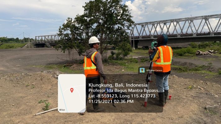
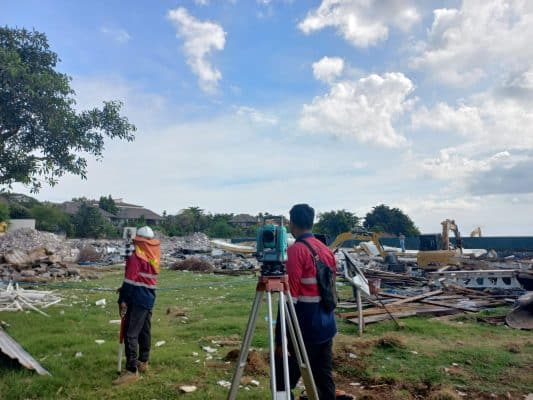
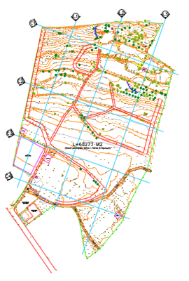
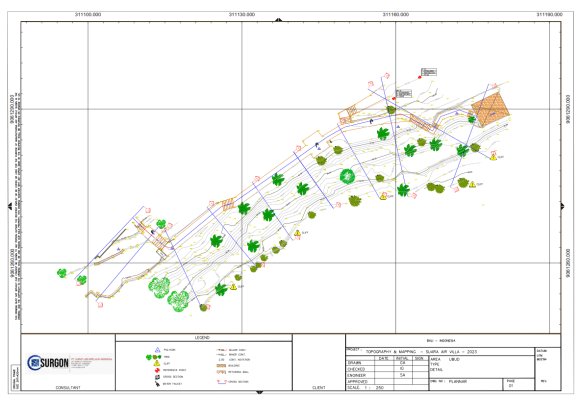
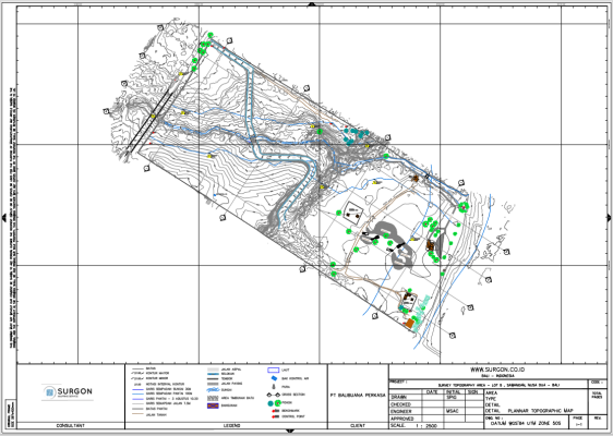
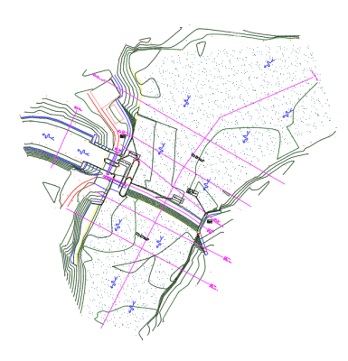
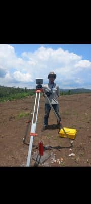
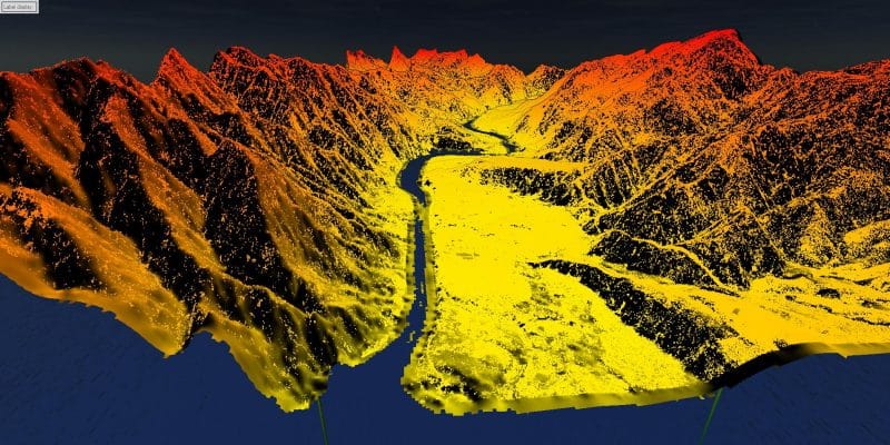
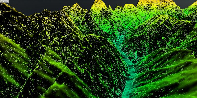
SERVICES
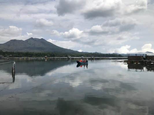
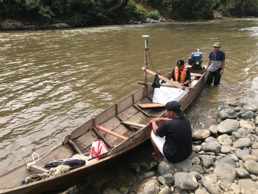
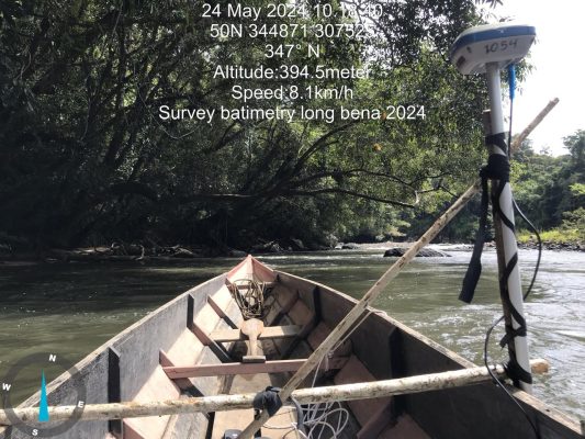
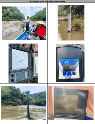
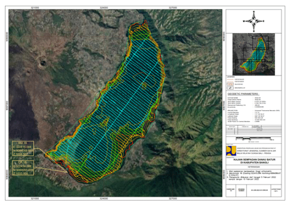
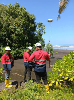
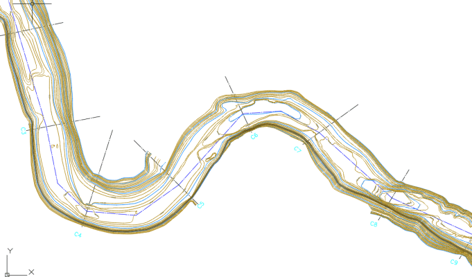
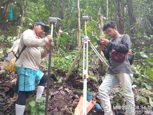
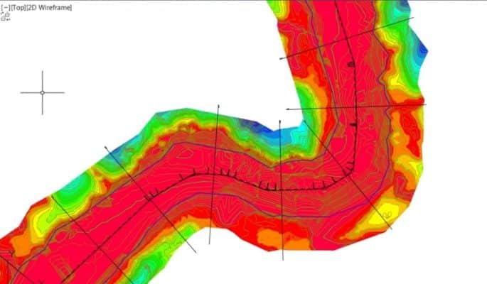
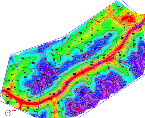
BATHYMETRY
Accurate underwater mapping for navigation, construction, and environmental insights using advanced technology.
Years of Experiences
Projects
Project Provinces
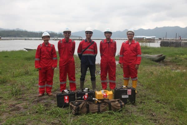
Team Members
From all over Indonesia
Lorem ipsum dolor sit amet, consectetur adipiscing elit. In est sem, ultrices ornare molestie sit amet, placerat vel arcu. Phasellus quis massa id sem pretium dictum. Donec sed sollicitudin est, sit amet eleifend ipsum. Vivamus nec pretium turpis.
Developer, Google
Lorem ipsum dolor sit amet, consectetur adipiscing elit. In est sem, ultrices ornare molestie sit amet, placerat vel arcu. Phasellus quis massa id sem pretium dictum. Donec sed sollicitudin est, sit amet eleifend ipsum. Vivamus nec pretium turpis.
Graphic Designer, Apple