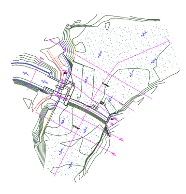
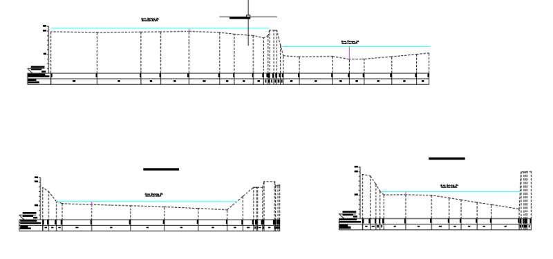
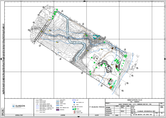
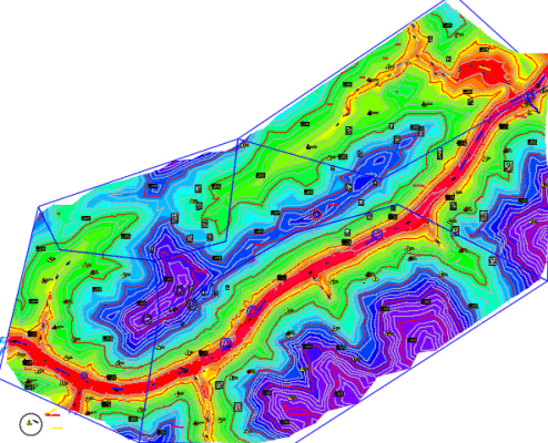
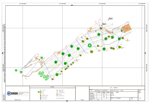
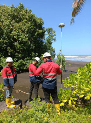
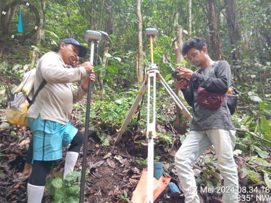
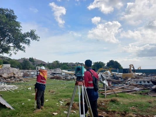
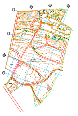
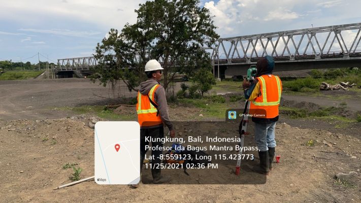
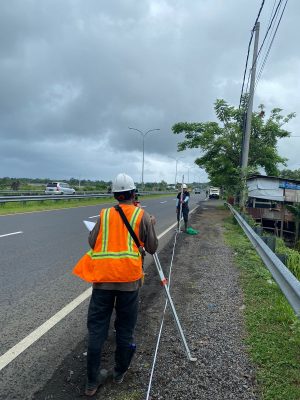
SURGON delivers professional topography survey services to map terrain with exceptional accuracy. Utilizing advanced total stations, GNSS, and drone technologies, we provide detailed topographic data for land planning, infrastructure design, and environmental management.
With years of experience and a commitment to excellence, our team ensures that every survey is conducted efficiently and accurately. Whether for construction, agriculture, or urban planning, we’ve got you covered. Contact us today to get precise topographic data for your project!
Let’s discuss your survey needs