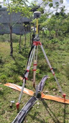
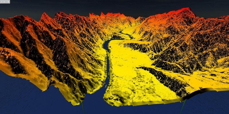
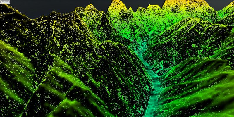
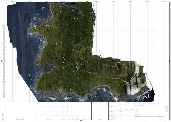
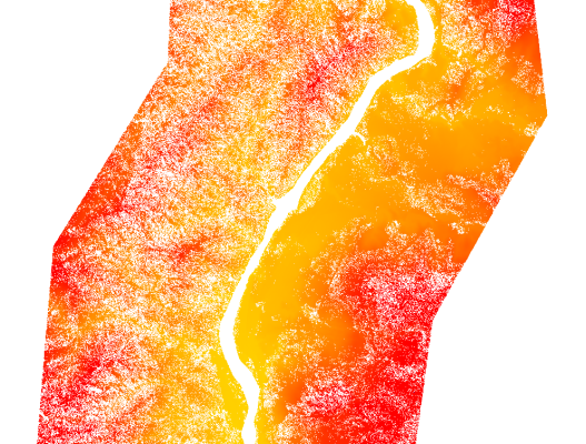
SURGON offers state-of-the-art LiDAR and photogrammetry services to capture detailed aerial data with unparalleled accuracy. From high-resolution topographic mapping to generating precise 3D models, our solutions cater to diverse applications such as land development, environmental monitoring, urban planning, and infrastructure design.
With a team of experienced professionals and the latest drone and scanning technologies, we ensure efficiency and reliability in every project. Let SURGON help you unlock the full potential of aerial mapping for better planning and decision-making. Get in touch today to explore how our LiDAR and photogrammetry services can elevate your project!
Let’s discuss your survey needs